Past and present, side by side
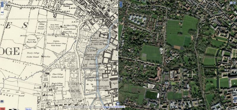
This is a lovely site from the National Library of Scotland. It lets you view two maps side by side, and you get synchronised scrolling, zooming; even your cursor is tracked on both images. You can pick from a range of maps, on either side.
I've spent a lot of (enjoyable) time simultaneously exploring places I know well in a couple of different centuries.
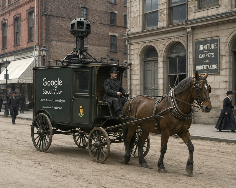
Now, has anybody got a time machine, so we can do the same with Street View?
I (or at least ChatGPT) can provide an appropriate vehicle for inconspicuously doing the photography.
Comments
The map of Cambridge in Russian/Cyrillic is quite amusing. I live in Cherry Hinton and it’s amusing to see the streets around phonetically transliterated.
The French national mapping agency are putting lots of their old maps and aerial photography up at a very similar site, https://remonterletemps.ign.fr/
They seem much less bothered by 50-year copyright rules as well, so there are even maps and imagery from this millennium, and it's all downloadable very easily too.
Leave a Comment